Waste management is a vital problem that has seen a surge in recent years amidst the industrial revolution, continual population growth, greater consumerism, and expanding urban-rural development. Social interventions and government protocols have been introduced to alleviate the problem, increasing public education on waste disposal strategies (e.g., landfills, composting, combustion, reuse, and recycling). However, there is a need to complement these procedures with geoscientific tools and geographic information system (GIS) methodologies. GIS has improved many facets of managing environmental issues, including the determination and use of arable and non-arable land, urban planning, disaster response, and fire risk management, among many others. When applied to waste management strategies, GIS provides better designation and handling of waste and disposal sites, improved observational safety reporting, and a more defined and proactive approach to Environmental Impact Assessment (EIA).
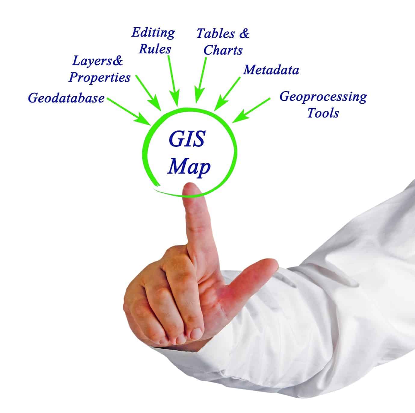
Lacking information regarding waste generation site location will inhibit the development of effective waste management procedures. However, GIS through spatial analysis can be used to map out areas of waste generation in precise detail. Additionally, these maps can be made easily accessible to authorized users. Information concerning the amount and type of waste (hazardous, inert, etc.) generated can be attached to the location data. A geo-database can be created to store spatial waste data. The database will serve to support the allocation of preventive and control strategies and the implementation of observational safety policies.
A common dilemma within urban management is finding a suitable disposal site for hazardous waste. The difficulty here lies not only in the inherent danger of hazardous waste, but also in the need for the site to fulfill social, environmental, economic, and regulatory (EIA) requirements. GIS, through geospatial analysis, can compile factors like slope, depth to water, zoning, and land use to help pinpoint potential landfill sites. Results can be translated into heat maps, category maps, and density maps, to easily visualize all the contributing ecological and geological factors. Furthermore, GIS, applied through network analysis and three-dimensional modeling, can help with the creation of the optimal transportation networks to landfill sites.
Additionally, there is a need to monitor the gases released at disposal sites, as they pose a threat to the surrounding ecosystems. GIS, through the geo-analysis of satellite and drone imagery, can be used to estimate the amount of gas released at the disposal site. This technology also improves the process of investigating the detrimental effects of such harmful gases on the health of neighboring communities and the biophysical makeup of surrounding vegetation. All this information contributes to improved estimations, reports, and records of observational safety data, advancing the implementation of environmentally and economically friendly preventive measures.
Waste management issues are coming to the forefront of the global environmental agenda at an increasing frequency, as population and consumption growth results in an ever-increasing excess of waste. GIS provides a framework for diverse waste management procedures, enabling more effective mapping of waste transportation routes, and the selection of waste distribution and generation sites with the lowest environmental and economic risk. Improving EHS (specifically, waste management) procedures is possible when this technology is employed to create a geo-database that stores and manages waste spatial information and helps monitor the hazardous gases released in waste transportation and disposal. Ensuring waste is handled effectively at the organization level using EHS software to manage waste coupled with selecting the right disposal partners and locations goes a long way to give peace of mind.
Publisher Bio
The SafetyStratus Research Advisory Group (RAG) brings together thought leaders from the global environmental, health, and safety community to promote best practices and provide key insights in the profession and the industries they serve. The Research Advisory Group also advocates, where practical, the intersection of and advances with the use of technology, such as the SafetyStratus enterprise EHS software platform. Group membership consists of representatives from across varied disciplines and market sectors as well as select members of the SafetyStratus team.
The primary objectives of the SafetyStratus RAG partnership are to:
- Build a strategic partnership between EHS practitioners and the SafetyStratus team.
- Provide engaging and practical content to the global EHS community.
- Provide discipline and market feedback specific to SafetyStratus products and services.
While the objectives of the RAG are varied, the primary public-facing outcome will be available through engaging and practical content found on the SafetyStratus resource pages. Various articles, papers, and other valuable resources will be produced and shared as part of an ongoing effort to cultivate a robust community. Ultimately, the SafetyStratus RAG will expand to have a broader reach and provide opportunities for more inclusion by all interested EHS professionals in a collaborative community environment.