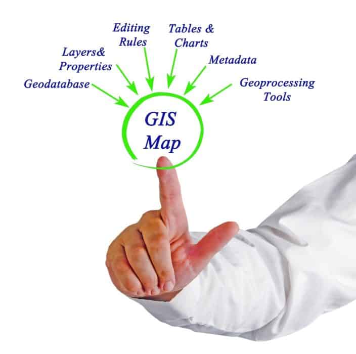
Environmental Health & Safety (EHS) is a multidisciplinary field that combines physical, environmental, and social methodologies to pinpoint impacts to public health and wellbeing. As we touched on in a previous blog, one of the relevant tools and technologies that has helped evolve EHS as an industry is geospatial tools. Geospatial tools and Geographic Information Systems (GIS) make use of spatial data in identifying and solving problems, increasing the effectiveness of predictive EHS strategies. Environmental epidemiology, toxicology, exposure science, and environmental engineering all have spatial attributes. As GIS is a tool for investigating and visualizing geospatial data, it can be used in these various environmental contexts to create models that explain, monitor, and solve complex environmental and health geo-hazards.
Businesses and governmental agencies have combined GIS with environmental models to map, study, monitor, and control the outbreak and spread of diseases. The COVID-19 pandemic has catalyzed the revelation of GIS’s power in this area of EHS. The CDC, among many other organizations, continuously propagates awareness of the disease by broadcasting the occurrence and spread of the disease in real-time data visuals. GIS has been utilized to showcase the spread of COVID-19 by country, region, state, county, or district through interactive maps and dashboards. Businesses also developed environmental and geospatial models through spatial interpolation and hotspot analysis to present high-density and low-density areas.
Beyond visualizing current disease trends, businesses also use GIS through geospatial modeling to assess the susceptibility of certain populations to diseases and create effective futuristic control measures. Relevant factors for occurrence (slope, elevation, rainfall, location of rivers and refuse dumps, and temperature) are all analyzed to estimate areas that are prone to infection from certain diseases. Once these estimations are made, prioritization can be placed on high-risk areas when establishing control measures.
A continuous journey in the EHS industry is the transition from a reactive to a proactive management approach. The obvious setback to a reactive approach is that accidents, events, and incidents must occur before relevant policies and preventive strategies are fostered. Blending GIS with EHS software provides a proactive solution where preventive measures are incorporated into systems and processes before issues can develop. The use of spatial-temporal analysis to assess environmental hazards’ impact on public health is one example of this. A company can study the prevalence of landslides and bushfires in a region, and then build management strategies that include this risk factor and are therefore more capable of prevention. Predictive analysis in GIS can also be used to determine the long-term functionality of assets, enabling planning for preventative maintenance, and lessening the potential of collateral damage from faulty assets.
GIS, through image classification, can also be used to analyze satellite imagery and identify various land-use classes (e.g., water bodies, urban/industrial sites, vegetation, mining areas, etc.). Using time series, the data can be used to identify how the topography and landscape of the area have changed over the years, helping predict future land-use patterns. Furthermore, GIS (through geospatial and geo-statistical modeling), can streamline the study of changing land-use patterns and their impact on the health of individuals, influencing EHS management strategies.
Geospatial tools combined with software and environmental models provide applicable insights into risk assessment, public health and safety, and environmental protection. GIS has played a significant role in EHS by resolving situations concerning current trends and building better strategies for the future. Real-time monitoring coupled with functionality data proactively fosters more effective EHS management strategies and procedures.
Author Bio
The SafetyStratus Research Advisory Group (RAG) brings together thought leaders from the global environmental, health, and safety community to promote best practices and provide key insights in the profession and the industries they serve. The Research Advisory Group also advocates, where practical, the intersection of and advances with the use of technology, such as the SafetyStratus enterprise EHS software platform. Group membership consists of representatives from across varied disciplines and market sectors as well as select members of the SafetyStratus team.
The primary objectives of the SafetyStratus RAG partnership are to:
- Build a strategic partnership between EHS practitioners and the SafetyStratus team.
- Provide engaging and practical content to the global EHS community.
- Provide discipline and market feedback specific to SafetyStratus products and services.
While the objectives of the RAG are varied, the primary public-facing outcome will be available through engaging and practical content found on the SafetyStratus resource pages. Various articles, papers, and other valuable resources will be produced and shared as part of an ongoing effort to cultivate a robust community. Ultimately, the SafetyStratus RAG will expand to have a broader reach and provide opportunities for more inclusion by all interested EHS professionals in a collaborative community environment.